Colombia Magnitude 7.4 Earthquake Update: Devastation & Rescue Ops
- 1 day ago
- 7 min read
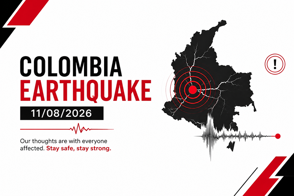
Colombia Magnitude 7.4 Earthquake: Tragic Disaster, Aftermath, and Immediate Disaster Relief Efforts
On the morning of August 10, 2026, a catastrophic earthquake rocked western Colombia, sending seismic waves across the Andean region and triggering widespread destruction. By August 11, emergency rescue workers and humanitarian organizations were working around the clock to navigate structural collapses, clear tons of rubble, and locate thousands of individuals reported missing. The seismic event represents one of the most significant natural disasters to strike Colombia in recent memory, paralyzing major urban centers and isolating vulnerable rural communities across the Pacific and Coffee Axis regions.
As emergency management teams assess the full extent of structural loss and human casualties, local authorities and international relief agencies are mobilizing emergency supplies. This comprehensive operational update and analytical breakdown details the origin of the quake, the hardest-hit urban and rural areas, the underlying geological mechanisms, the humanitarian response, and essential safety protocols for earthquake preparedness.
Operational Briefing: Key Facts of the Colombia Disaster
Operational Parameter | Official Disaster Metric / Data |
Date & Time of Occurrence | August 10, 2026, at approximately 07:34 AM Local Time (12:34 UTC) |
Seismic Intensity & Depth | Magnitude 7.4 ($M_w$), Depth of ~96–107 km (USGS / SGC) |
Epicentral Coordinates | San José del Palmar, Chocó Department (4.903° N, 76.189° W) |
National Status | Official National State of Emergency declared by the Presidency |
Confirmed Fatalities | Exceeding 130–169 deaths (numbers actively rising during search efforts) |
Injuries Reported | Over 570 individuals receiving medical attention |
Missing Persons | Over 2,500 active search-and-rescue inquiries registered |
Structural Damage | Over 1,600 structures damaged or completely destroyed |
Epicenter, Depth, and Tectonic Drivers of the Colombia Magnitude 7.4 Earthquake
Understanding the physical dynamics behind the Colombia magnitude 7.4 earthquake requires examining the region's complex tectonic environment. Colombia is positioned along the active border where the ocean-bound Nazca Plate forces its way beneath the continental South American Plate at a subduction velocity of roughly 5 to 7 centimeters per year. This continuous collision creates severe mechanical stress within the Earth's lithosphere, making western and central Colombia highly susceptible to high-magnitude seismic events.
According to formal reports published by the Servicio Geológico Colombiano (SGC) and the United States Geological Survey (USGS), the earthquake struck at 07:34 local time on August 10, 2026. The hypocenter was pinpointed at a intermediate depth between 96 km and 107 km beneath the town of San José del Palmar in Chocó.
Because the focus of the earthquake was located at a moderate depth rather than directly on the surface, the destructive physical rupture did not create an immediate surface fault displacement or destructive Pacific tsunami wave. However, the intermediate focal depth allowed high-frequency seismic energy to radiate efficiently across hundreds of kilometers. Powerful shaking was recorded from the dense jungle coast of the Pacific to major high-altitude metropolitan areas like Bogotá, Medellín, and Cali, as well as neighbouring nations including Ecuador, Panama, and Venezuela.
SUBDUCTION ZONE MECHANISM
[ Pacific Ocean ] [ South American Continent ]
| |
| (Nazca Plate Subducts) |
v ===============> v
~~~~~~~~~~~~~~\
\ Fault Slip Stress Release
\ =======================> [ Epicenter: San José del Palmar ]
\ (Depth: ~100 km) [ Hard-Hit: Pereira, Cali, Quibdó ]
\_________________________/
Within 36 hours following the primary shock, seismologists recorded more than 47 significant aftershocks, including tremors measuring 4.8 on the Moment Magnitude Scale. These ongoing tremors continue to destabilize already weakened multi-story buildings and trigger hillside landslides along rural access highways.
Regional Breakdown of Destruction and Casualty Reports
The physical impact of the earthquake has varied significantly across western departments, with urban collapse in industrial centers contrasting sharply with total isolation in remote rural areas.
1. Risaralda Department & Pereira
Pereira, the capital of Risaralda with approximately 500,000 residents, emerged as one of the most severely devastated urban hubs. Located less than 64 kilometers from the epicentral epicenter, the city experienced violent horizontal shaking.
Human Impact: Local municipal leaders confirmed at least 60 deaths in Pereira alone, alongside dozens of critical injuries.
Infrastructure Collapse: Over 80 multi-story residential buildings and commercial properties suffered structural failure or total collapse.
Transport Disruption: Suspended operational activities occurred at Matecaña International Airport after decorative ceilings and non-structural masonry collapsed into passenger concourses.
2. Valle del Cauca Department & Cali
In Cali, Colombia's third-largest city, severe structural shaking triggered panic as alarms echoed across residential districts.
Casualties & Search Operations: More than 85 fatalities have been reported in Cali, with search teams organizing human bucket lines to lift concrete blocks by hand.
Building Failure: More than 380 structures sustained heavy structural cracks, while at least 20 multi-story buildings completely flattened, trapping residents inside apartment suites.
Municipal Damage: In small surrounding towns such as El Cairo, local officials reported that nearly 80% of residential dwellings constructed from traditional adobe or unreinforced timber were heavily damaged or destroyed.
3. Chocó Department & San José del Palmar
Chocó, the department hosting the epicenter, represents one of Colombia's most isolated, heavily forested, and economically vulnerable provinces.
Communication Loss: Widespread power failure and destroyed cellular towers severed communication with the regional capital of Quibdó and remote river settlements.
Access Obstacles: Because large portions of Chocó are reachable only via boat routes or small airfields, rescue forces faced extreme logistical delays in transporting heavy cutting equipment to San José del Palmar.
Casualty Projections: Early estimates from regional authorities note dozens of injuries and substantial housing destruction, though emergency personnel fear numbers will rise significantly once remote ground teams make contact.
Emergency Government Response, State of Emergency, and Rescue Efforts
In response to the mounting crisis, newly inaugurated President Abelardo de la Espriella declared a formal National State of Emergency. The executive declaration mobilizes the full financial, technical, and military capacity of the state, directing national treasury reserves directly into disaster relief accounts.
"The national government has all of its capabilities deployed to protect lives, assist affected communities, and deliver aid wherever it is needed. Our immediate and absolute priority is rescuing human beings trapped beneath the rubble."
— President Abelardo de la Espriella, Addressing the Nation from Bogotá
Key Humanitarian & Search-and-Rescue Initiatives
Deployment of Heavy Urban Rescue Teams: More than 100 specialized urban search-and-rescue (USAR) personnel from Bogotá were deployed directly to Pereira and Cali, equipped with thermal cameras, acoustic listening devices, and rescue dogs.
Collection Depots in Urban Centers: Bogotá Mayor Carlos F. Galán established six primary relief collection centers across the capital, calling on citizens to donate bottled drinking water, blankets, non-perishable canned food, medical supplies, and temporary shelters.
Air Force Logistics Corridors: Military transport aircraft established emergency air bridges to move heavy hydraulic cutters, generator sets, and mobile field hospitals to operational airfields in Risaralda and Valle del Cauca.
International Aid Mobilization: International allies rapidly pledged emergency financial aid and disaster logistics support to back the national emergency framework.
Critical Earthquake Safety and Emergency Survival Rules
Seismic events strike without direct warning. Whether residing in seismic zones or traveling abroad, adhering to established structural survival principles drastically improves survival rates during major quakes.
CRITICAL SURVIVAL PROTOCOL
+-----------------------------------------------------------+
| 1. DROP --> Lower down onto your hands and knees. |
| 2. COVER --> Protect your head/neck under a table. |
| 3. HOLD ON --> Hold firmly until all shaking ceases. |
+-----------------------------------------------------------+
Essential Steps During Active Shaking
Drop, Cover, and Hold On: Immediately drop to your hands and knees. Cover your head and neck under a sturdy table or desk. Hold on to your shelter until all shaking completely stops.
Avoid Glass and External Walls: Move away from windows, unanchored heavy furniture, hanging fixtures, and exterior brick walls that can collapse inward.
Do Not Run Outside During Tremors: Attempting to leave a shaking building increases the risk of being struck by falling facade materials, glass, or electrical power lines.
If Outdoors, Seek Open Space: Move away from high-rise buildings, utility poles, streetlights, and overpasses. Drop to the ground once clear of falling hazards.
Vehicle Safety: If driving, safely pull over to the side of the road away from overpasses, bridges, trees, and power lines. Keep your seatbelt fastened until shaking stops.
Frequently Asked Questions (FAQ)
What was the official epicenter and magnitude of the earthquake in Colombia?
The earthquake registered an official magnitude of 7.4 ($M_w$). Its epicenter was located approximately 5 kilometers east of San José del Palmar in the Chocó Department, operating at an intermediate depth of roughly 96–107 kilometers beneath the Earth's surface.
Why did the Colombia magnitude 7.4 earthquake cause extensive damage across distant cities?
Although the epicenter was in a rural region of Chocó, the Colombia magnitude 7.4 earthquake occurred at a moderate depth (~100 km). This depth allowed powerful seismic waves to travel great distances with minimal ground damping, causing severe shaking in major population centers like Pereira and Cali, where unreinforced buildings suffered structural failure.
Was a tsunami warning issued following the August 2026 Colombia earthquake?
No. The U.S. Tsunami Warning System and local Colombian maritime authorities confirmed that no tsunami warning or threat was generated along the Pacific coast. The earthquake's hypocentral depth (~100 km) prevented the massive vertical seabed displacement necessary to generate destructive ocean waves.
How can citizens and international communities contribute to relief efforts?
Individuals can donate essential emergency supplies—including clean drinking water, non-perishable foods, hygiene kits, and thermal blankets—to authorized collection centers. Financial donations to verified international relief organizations operating on the ground directly fund emergency medical assistance, temporary shelters, and clear-up operations.
Support Disaster Relief Efforts in Colombia
The victims of the recent earthquake in Colombia require immediate food, clean water, medical treatment, and emergency shelter. You can make a direct impact on search, rescue, and humanitarian recovery operations by contributing through official relief portals:
Support Global Relief via UN OCHA / ReliefWeb: Stay updated and support international emergency coordination at ReliefWeb Disaster Management.
Track Scientific & Seismic Data via USGS: View detailed technical assessments, aftershock maps, and seismic analysis directly on the USGS Earthquake Hazards Program.
Donate to Emergency Humanitarian Response: Help fund direct field operations, medical supplies, and rescue teams through the International Committee of the Red Cross.



Comments